It started with a wet, midnight ferry landing in Prince
Rupert, the start of the Yellowhead Highway (Tete Jaune). It featured a steep
climb over the Columbia Icefield on the Icefields Parkway, finishing in Rocky Mountain House (yes, a town name in
the foothills) on the David Thompson Highway – in the rain! Fifteen days, 879 miles, 21,723’ of total
elevation gain. Seven black bears and
three cubs, several elk, deer, two wild horses, and a grey fox sighted along
the way, often arresting my progress. 3,246,024
truck tires passed (of course I counted them!). Perhaps most impressive of all, is the immense scenery, ever-changing, with a different vista around every turn.
 |
| The route from Prince Rupert (west end on the Pacific) to Rocky Mountain House at the edge of the eastern prairie. |
Sailing on the ferry up from Port Hardy provided the first real glimpse of the coastal range of mountains in British Columbia. It was a stunning observation, yet also one that filled me with wonder as to what the road ahead would be like. It is easy to wonder, perhaps even worry, about how challenging they would be to cross, and what the people and conditions would be like. As I do on my bike constantly, I now look in the rearview mirror at these now fading mountains and riverscapes as I descend into the “prairies” as the Canadians refer to them, with a sense of pride and accomplishment. Rather than bore you with the day-to-day journal of these past 15 days, I offer you these five observations.
Weather
Nobody characterized the weather as normal. Instead, it was characterized as an unusually
cool and wet Spring and a late one at that.
It is not difficult to surmise that I wore my rain suit more often on
this segment than I have in the past 5 years, and luckily it worked well enough
to keep me mostly dry, and certainly warm enough. It is conceivable that nearly every day had
at least some rain, and a few days quite a bit of hard rain. I never expected
to also wear my warmer clothes virtually every single evening or to wear my
clothing to bed just to stay warm when camping. I do not believe the daytime high temperature
ever topped 65 degrees in the sun and was often in the low 40s at night. I did not expect this. And somewhere along the way, my long-fingered
gloves were lost, exposing my fingers a bit more than I expected. I resorted to buying nitrile gardening gloves
at a small-town hardware store. They
worked well enough most times, but as I write this, the rain again beats own on
the roof of my tiny motel room, as it has much of all day, and only in the low
40s. I was probably the coldest I have
ever been save once, those gloves did not keep my fingers warm, and I am now happy for the respite of a motel to finish this blog post.
Many people ask me what one does in the rain. You ride, or you hunker down somewhere. Weather happens. And I offer no pictures in the rain - for obvious reasons!
Geography
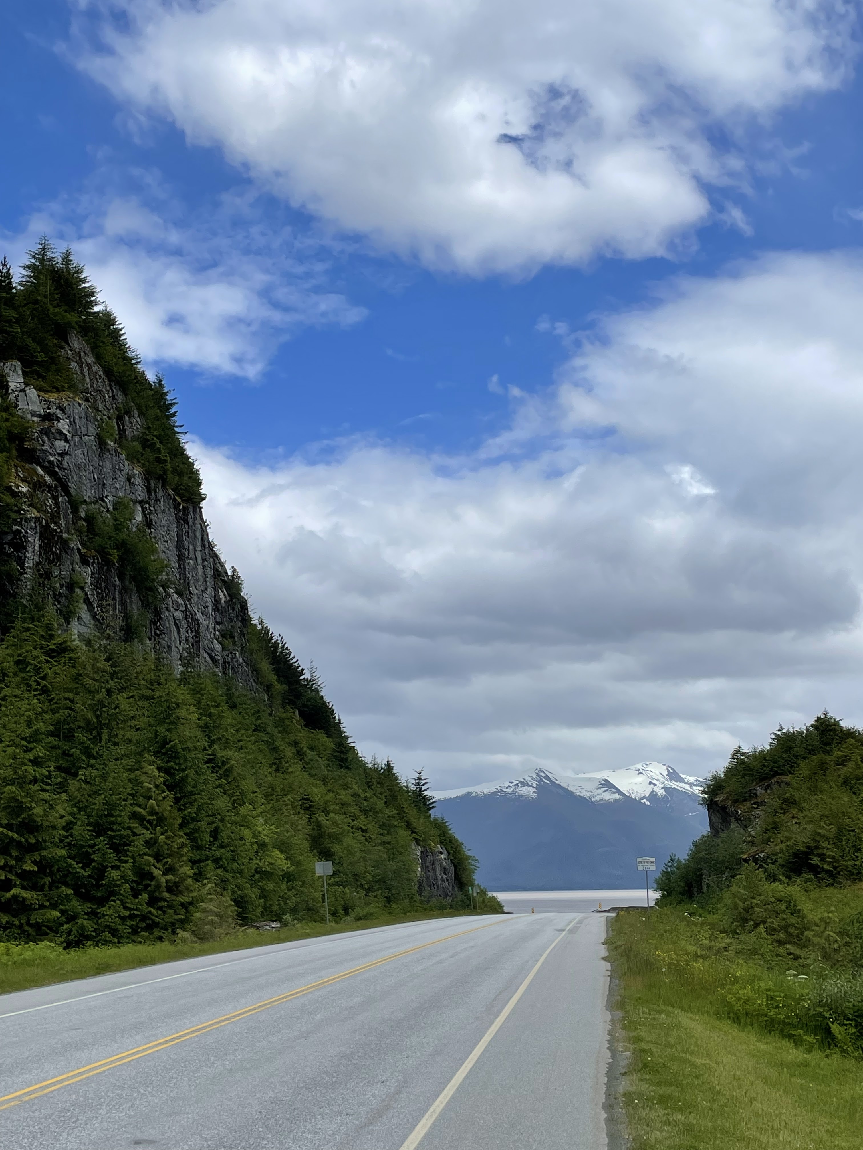
Mountains and rivers, hills and streams, and a thousand waterfalls carving drainage pathways can best characterize the geography. Dress all this in evergreen, and top it all with abundant snow, and that is central British Columbia. Leaving Prince Rupert, the Skeena River fairly crashes into the roadway as one descends a long hill east of town to join the road that runs along the river for miles.
 |
| Joining the Skeena River for a long shoreline ride |
The river watershed is guided by these rolling coastal mountains along both shorelines, and those mountains can also channel a mean headwind. The Bulkley River, which drains into the Skeena, harvests the water of the broad central valley between the coast range and the Rockies, and both drain to the Pacific. The Yellowhead Highway farther inland follows the Fraser River that originates in these central uplands and flows in these upper reaches in a long, broad valley channeled by snow-capped peaks, flowing all the way to Vancouver and the Pacific.
 |
| On the overlook of the Columbia Icefields |
The Athabasca River along the Icefields parkway flows north to the Arctic Ocean, and the Saskatchewan River, on the southern side of Sunapta Pass on the Icefields Parkway, drains to the Atlantic Ocean through Hudson Bay, and yet how far I am from that ocean! It is really hard to comprehend where all that rain I endured will actually end up (other than in my clothing!), and it is not obvious by mere observation. No wonder the fur traders that explored these areas had a tough time figuring that out! It is truly like a crumpled blanket.
 |
| On the south side of the icefield, the road ahead extending below in one of the most exhilarating descents! |
Mood and Character
There has been no shortage of people to talk to since many
people see the loaded bicycle and ask about the trip. And the people have been great! This stage of the trip exposed me to the varied
opinions of British Columbia, of its shifting relationship with the land; the
government owns 94% of all the land in British Columbia, called Crown land, and
is making a push to limit logging and focus on tourism. Logging and lumber mills are the lifeblood of
most communities I rode through.
Reducing logging reduces the quantity of timber to sell, and also the
amount of pulp chips as a byproduct.
Many foreign investors with lower labor costs in their mills do not become good stewards of these mills, and they are often closed down and salvaged for their equipment to be
rebuilt elsewhere in the world. It was
startling to hear that many of the shipping containers stacked in Prince Rupert
harbor are actually filled with whole logs to be processed overseas, bypassing
the local mills. The impression I got is
the timber industry, for all the land available to sustainably manage, is dying
a slow death in British Columbia.
 |
| The local lumber mill in the small village of Kitwanga |
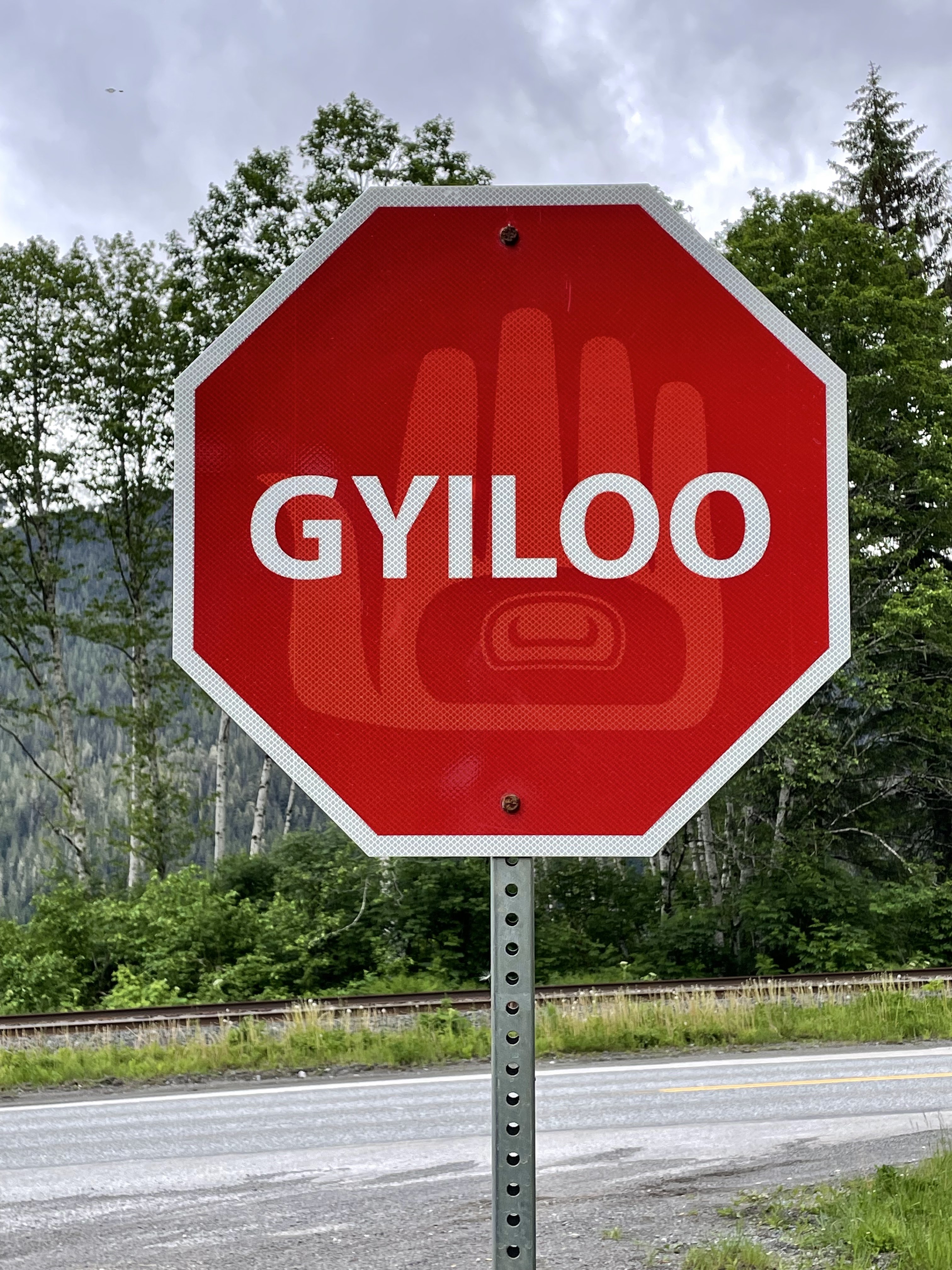
First Nation aboriginal members represent only 6% of the total population in British Columbia, and are stewards of only 0.4% of the land base, according to the 2020 Annual Report to Parliament. They are visibly much more “present” in society as a whole, but not always in the best light. First, there are so many different “nations,” some quite small, and all are to various measures dependent on the government. They are allowed to manage their own land and forestry resources but do not do so to build an industry as opposed to merely make a sale of the timber. They often will contract for the timber harvest rather than have their own first nation forestry crews doing the work. This causes frustration for non-natives. And of course, like so many places, many members are marginalized in society, with a lot of homelessness in many of the towns I passed through. It’s a sad sight. But then again, it always is no matter the ethnicity. One thing I can say that pleased me was to see so much of the native art and culture on prominent display, and it did not seem “forced” but rather natural. I have never seen so many totem poles outside of a museum and placed naturally within a community and environment.
 |
| The historic Gitwangak Totem Poles |
CAVEAT: all that I have written here is gleaned from my conversations with locals, and should be taken as hearsay. It is one view, but perhaps not the entire view. I am certain the advocates for throttling back on timber harvesting have sound reasons as well. And like any contentious issue, it is often uncomfortably played out in public and private, and often around a campfire.
Trucks
There are big trucks in Canada. The “B-train” rig is an eight-axle tandem
trailer set-up, and is quite common across Canada (and not universally allowed
in the United States). They drive big
trucks because they have big loads, including the most common log hauler as
well as tanker and pulp chip trailers. Canada needs trucks (and trains) to
connect the various markets, but they can be intimidating to see in the
rearview mirror after having heard them quite the distance arrears. The number
of trucks might be an indication of the robustness of the timber economy, in
which case, based on the numbers that I saw (and typically heard and felt),
the economy must be good, though that is debatable (see paragraph above). There were a lot of trucks on every section
except the Icefields Parkway (not permitted), and the stretch from Prince
George to Tete Jeune Cache. By and large, they are good, professional drivers, but one could wish they would slide over
just a bit more when passing, for the “whoosh” of the pressure draft as they
pass can be a bit uncomfortable when the shoulder is narrow.
Roadsides
Riding the roads at a slow pace does give one a chance to
see what is actually along the side of the road, including trash. About British Columbia as a whole, it is
largely clean and free of trash. This
was a bit surprising to me, but for the most part, what I did see was stuff
that could have flown off a vehicle rather than been dumped wantonly. This was pleasing, that is until I came to
the Icefields Parkway. The number of aluminum
cans tossed, along with other detritus, frankly surprised me! Drivers that speed along at 60+ mph do not
see the isolated piece of trash – it looks clean along the roadsides at that
speed. But it is there, not necessarily
in abundance. Why is there even one
can? What would cause a person to toss
this out in such a wondrously beautiful environment in the first place? It baffles me.
The other notable absence along this entire stage is road kill. Rarely did I see a decaying or crushed animal along the roadsides; given the amount of animal movement, this was surprising. I was pleased about that. It is not that it never happens for there are warning signs everywhere, but it is nice to NOT see this. The most common roadkill I saw was a handful of birds and some butterflies.
From the perspective of all my previous 20 bicycle tours, I have seen much more wildlife than ever including bears, elk, bighorn sheep, deer, a fox, a wolf, and two wild horses - all from the roadside.
 |
| This elk is a poser! Right behind a frequent sign! |
The most common object found: bungee cords, most broken. The most surprising object found? A large, sheathed hunting knife laying neatly on the shoulder. Yes, I picked it up (heavy) and brought it to the next convenience store. They were happy for me to part with it!
I can only say, consider a visit to British Columbia – you
will not be disappointed! But wait for
the rainy season to pass.
FOR YOUR VISUAL PLEASURE, A GALLERY:
 |
| Purden Lake in morning following a full night of rain |
 |
| Typical view of the Fraser River valley en route to Smithers |
 |
| Honeymoon Lake on the Parkway at sunset |
 |
| Yellowhead mountain, on way to Jasper |
 |
| OK, you can stop now! |
No comments:
Post a Comment